I woke up on Sunday in the Ute Mountains at sunrise. What a beautiful place.
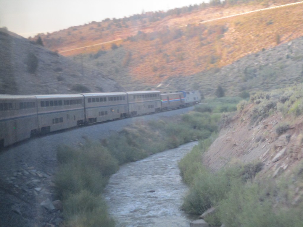
It’s still hazy at the horizon but the sky is a deeper shade of blue. We crossed into Mountain Time last night so I set my pocket watch ahead by an hour.
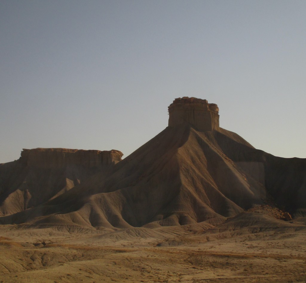
Today’s visual treat is the Book Cliffs – a mountain range that runs East-West rather than North-South. The train conductor points out one formation called “Transportation Mountain” because depending on the angle, people have said they can see a train engine, a tractor/trailer rig, and an aircraft carrier. But given my current travel theme, all I can see is the train…
The Book Cliffs run for 240 miles through Utah and Colorado. I didn’t see books in those rocks, my imagination saw the ruins of temples and 12th century castles.
For the next leg of my trip, I rented a car, which would get me to Silverton in 2.5 hours instead of the 12-15 hours the local bus would take. Near Grand Junction, I texted the cab company to confirm my ETA, and found the driver waiting for me when I arrived at the train station. He was personable, and said I was his first fare to the airport. He had never actually been to the airport, having never traveled outside of Colorado. So I shared stories about Istanbul and Morocco, and how great the food is there. When I mentioned my trepidation about following my printed Google Map directions to Silverton, he set up the Maps app on my smartphone, and declined a tip.
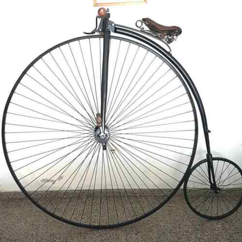
The rental car agent was equally helpful. He noticed the chain on my vest and asked if I carried a pocket watch. I showed it to him and told him I was doing a 1900s themed trip, and in turn, he pulled out his phone and showed me a photo of him in his top hat and tails, riding his other car – a bone shaker, also known as a velocipede. What a fun chance encounter to have at a rental car counter.
I find my car. It takes me a few minutes to find the start button for the keyless ignition. A car without a key… imagine that. I note the dock for my cell phone / GPS system. Obviously it’s been awhile since I’ve driven a car. But now, feeling more confident about this leg of my trip, I start out.
About an hour later, my phone pings and announces a better route. “More gas efficient” it says. “Same ETA” it says. So I hit Accept. I see the signs for Silverton, and start passing cities I know are on route. And then I start to see signs for a pass. A pass? What pass? Did I fail to do my homework again?
Just past Ouray, the highway narrows and starts to get all squiggly and full of 15 mph switchbacks that make the Big Sur and Grant’s Pass look like cakewalks. I see a sign pointing to the beginning of the Alpine Loop and realize where I am. It’s the Red Mountain Pass, part of the Million Dollar Highway.
They should call it Twenty Five Miles of Terror.
The pass rises to just about 11,000 feet, one lane in each direction, hugging the mountain on one side, and dropping off abruptly on the other side, without guardrails for most of it. I can’t tell if I’m having a panic attack or suffering from lack of oxygen. I white-knuckle my way through it, terrified of taking in the view for fear of driving off into it. The only thing more terrifying than this pass, is the prospect of driving back that way a few days from now…
But I make it to Silverton, safe if not fully sound. The altitude (9,300′) is a little tough when you live at sea-level. But it’s all part of the grand adventure. We shall see where the next bend in the road takes me…

Loved the part about the chap with the pic of himself in Top Hat and Tails, who rides a “Bone-Shaker”! The terrifying switch-backs and hair-pin turns – not so much! YIKES!
LikeLike